

The Arizona Divide is on Route 66/I-40, and is located just west of Flagstaff, Arizona. It is a geographic location marking the point where water either flows toward the Colorado River watershed or to the Gila River watershed

As I was headed towards Flagstaff I hit a massive traffic-jam.

Somehow, a truck had overturned, and if you look at the photo you can sort of see that there’s a huge crane parked in the middle of the highway trying to right the truck and all the traffic has been redirected into a single file that passed it by riding on the highway’s curb/pull over section.

Soon after I passed the accident I spotted the sign and I pulled to the side of the road to take this photo of the sign marking the divide’s location 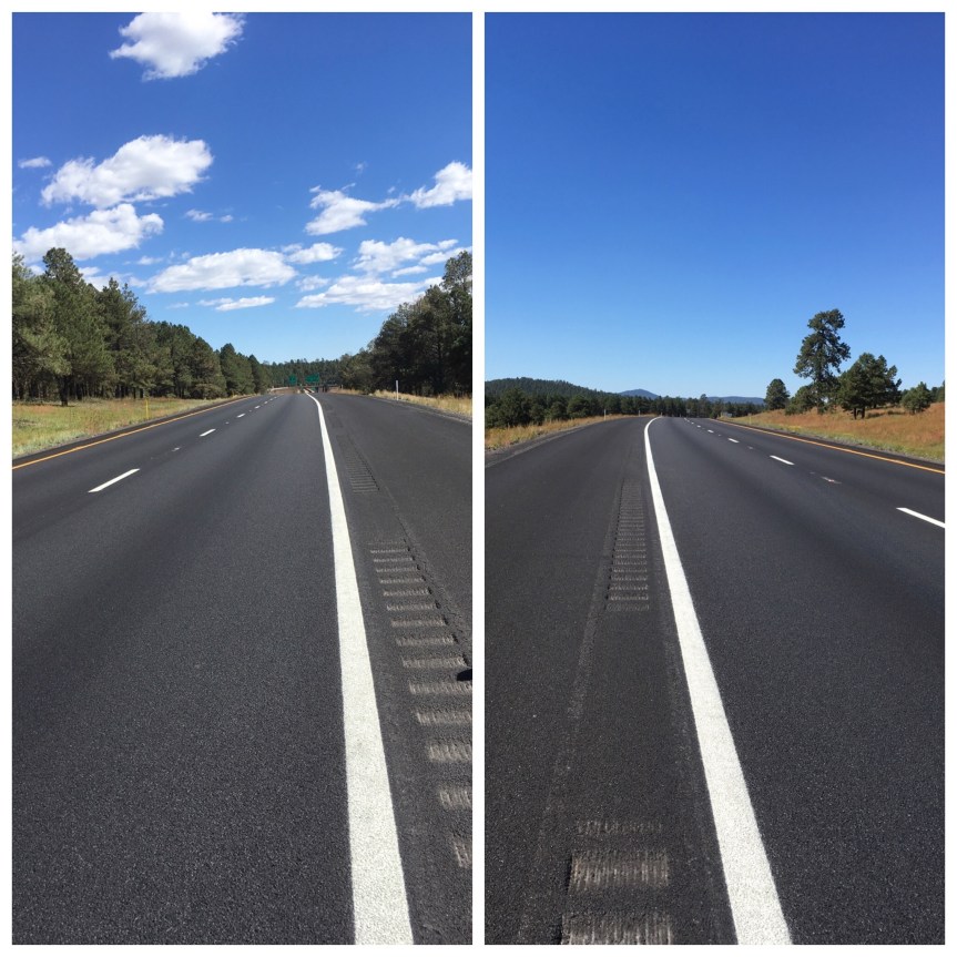
A minute or two later, I realized that no more cars were driving past me. The road was COMPLETELY empty and stayed so for I don’t know how long, because I only hung around about 5 minutes before heading towards Flagstaff. I wasn’t driving very fast, and after a bit pulled over again, wondering when the traffic would flow… and took more photos — and even watched a train head towards me and pass under the highway
 I.e., I was VERY lucky in passing it when I did cause I could have been sitting there MUCH longer/

