The personal authentic travels of a world-wide drifter, you'll always see pics of me at the locations being described (if the other blogs you're reading don't do that, odds are they were NEVER there, just saying…)
There are a whole bunch of continental divide points in north America, this is along Tran-Canadian Highway (route 1)
Map from wikipedia
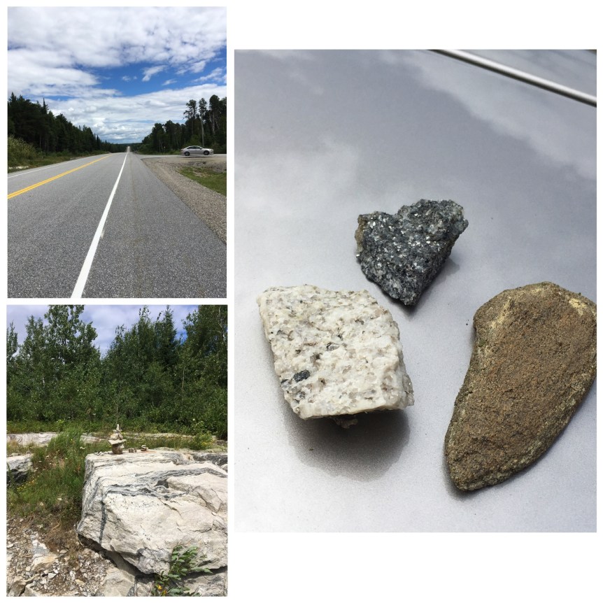
I was kind of amazed by the rock around here… there was black shiny rock embedded into what almost looked like maybe it was marble. I collected smaller stones to take to Chicago to put on my father’s grave.
The Continental Divide or Great divide, extends for the most part north/west to south/east along the spine of mountains and high elevations of the North American Continent, and marks the line that separates the watersheds that drain into the Pacific Ocean from those river systems that drain into the Atlantic Ocean
There are in fact folks who as a ‘life challenge’ attempt to HIKE the length of the CDT (Continental Divide Trail) from the Mexican border to the Canadian one, and there’s no shortage of web sites devoted to how to go about doing that…. and it should not be confused with the PCT (Pacific Crest Trail) which has a movie called “Wild” staring Reese Witherspoon,
about a recent divorcée with no previous experience in hiking who decides to do it as a “journey of self-discovery and healing” … of course there’s a snowball’s chance in hell you’ll see me doing either of those…
There are a lot of these signs along the length of these phenomena of nature. So any time I find one, I’m going to add it here:
West of Rawlins, WY on I-80On I-80, between Rock springs and Wamsutter Wyoming, near the Bitter Creek rest stop