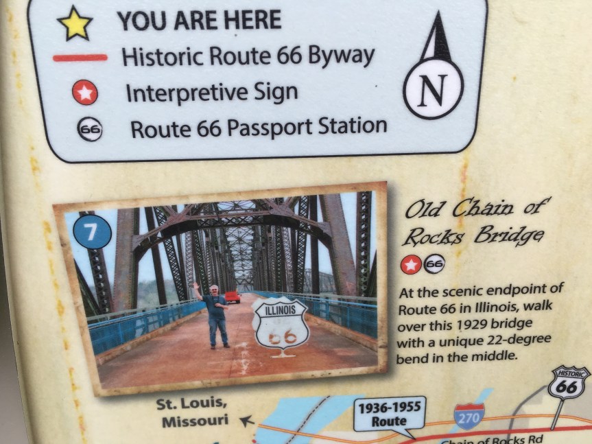
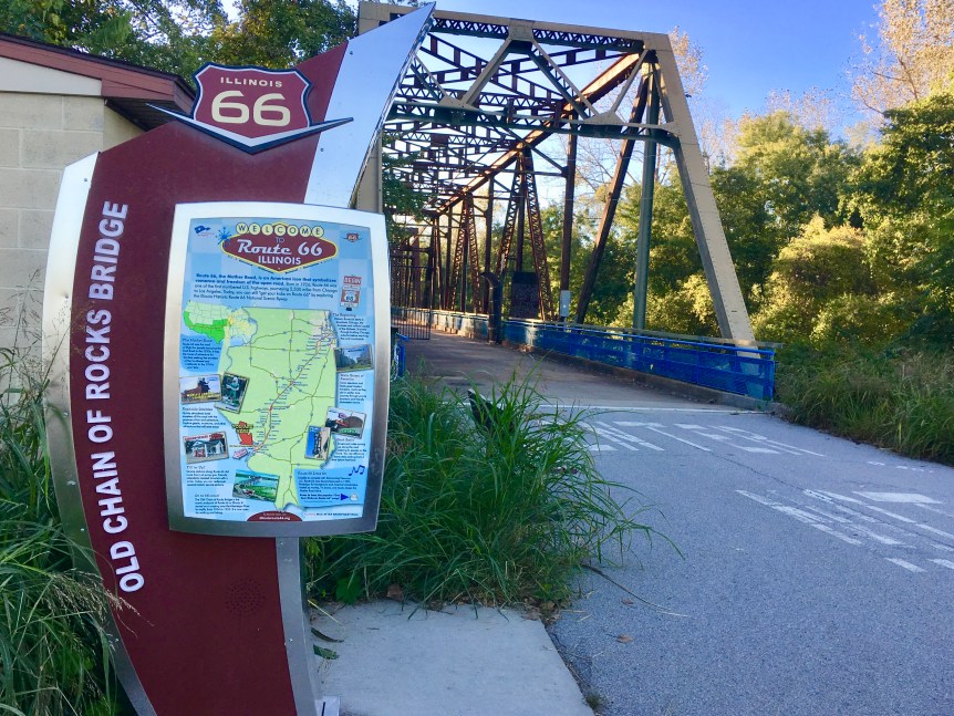
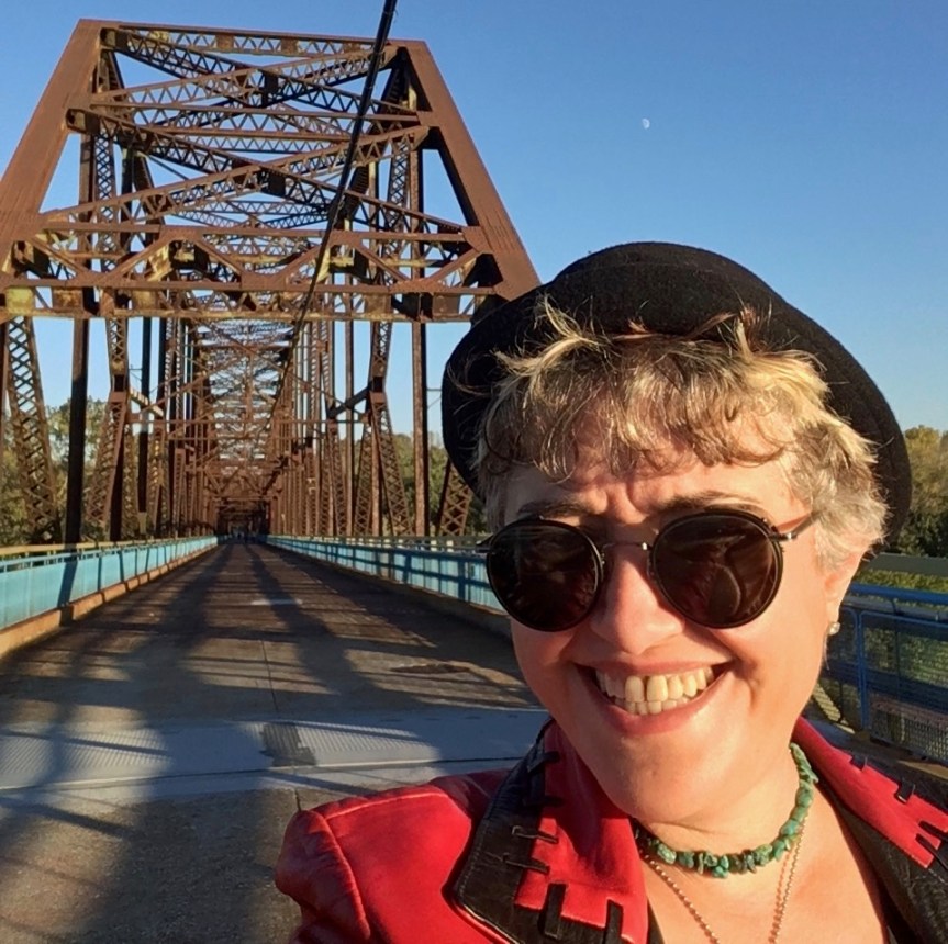
Privately built as a toll bridge across the Mississippi River in 1929, The “Chain of Rocks” was part of the designated Route 66 city bypass beginning in the late 1930’s, and is on the National Register of Historic Places. When you see it, the reason why the bridge was retired is obvious, it’s only wide enough to allow a single line of cars headed in one direction to pass over it at a time. As vehicles are no longer allowed over the bridge, it is now (by default) one of the world’s longest pedestrian bridges.
It’s name comes from its location along the river. Previous the 1960’s when the United States Army Corps of Engineers built a low water dam to correct the problem, this area was actually the sight of river rapids that made navigating this stretch of Ol’ Man River very dangerous indeed.

That said, when the bridge first became the designated bypass, the Route 66 traffic that WAS willing to pass through downtown initially took the more southerly MacArthur Bridge, located just south of where the I-55 crosses the Mississippi… although that only the first of the bridges, as route 66 traffic was continually being re-routed….

As I’ve said repeatedly, when you are in this part of the country, being able to “drive 66” becomes a questions of WHICH 66 you want to travel on… there is not just one… simply to cross the river there are FIVE different options.

… the best place to access the bridge is on the East/Illinois side of the Mississippi rather than West/Missouri side. On the east side there’s easy parking dedicated to those wishing to walk across the bridge (with I might add police protection there around sundown), while on the west side there is no dedicated parking lot

When you first approach this area (heading west) you’ll pass over a shorter, cars traveling in one direction at a time, bridge that is still functional. This one takes you from the Illinois side to Chouteau, a man-made Island that when I was driving through it seemed like it was being used as garbage dump, but apparently its being converted into a recreational area. You then drive to the other side of the island, directly into the parking lot for the Chain of Rocks bridge.

If you look at google maps, the area directly after the gate (behind me) is green on the map… it’s not land so much as it’s swamp. As I mentioned before this section of the river was called chain of rocks because it was shallow enough that it had rapids before the corps of engineers fixed things… this was done in part by digging out the middle of the river, and this island was created with the mud …. but the first section of the Chain of Rocks passes over “land” that is still shallow and swampy

After you’ve walked for a bit — and its was a very lonely walk (it actually made me very nervous walking across it by myself, as it could have just been me and G-d knows whom else on the bridge, in a location where there’s no one to hear you scream) you finally pass the swamp land into the wide River


A 2nd word of warning… This bridge see’s so little traffic that the spiders seem to have taken over ownership of the place and humans are just intermittent visitors. It’s not just spider webs along the sides, as that is to be expected.

Rather, it’s that as you along it every second or third step you find yourself walking into yet another strand of spider silk … as in THOUSANDS of them live here — this is NOT a place for anyone suffering from Arachnophobia.

Over the course of the whole walk I saw only 6 people… one middle-aged woman walking alone (which made me feel much more secure) the group of three young people walking towards me in this shot, and then as I was leaving, middle aged couple who were smoking pot.

And from the above photos you get a sense of just how far from downtown St. Louise the bridge is…. that odd-looking thing is the Gateway Arch from a bit of an angle.
And no, I didn’t get all the way to the bend, the sun was going down and I was worried about getting caught out there when it started going dark.